Aerial Surveys Using Drones in Yorkshire - A Complete Guide
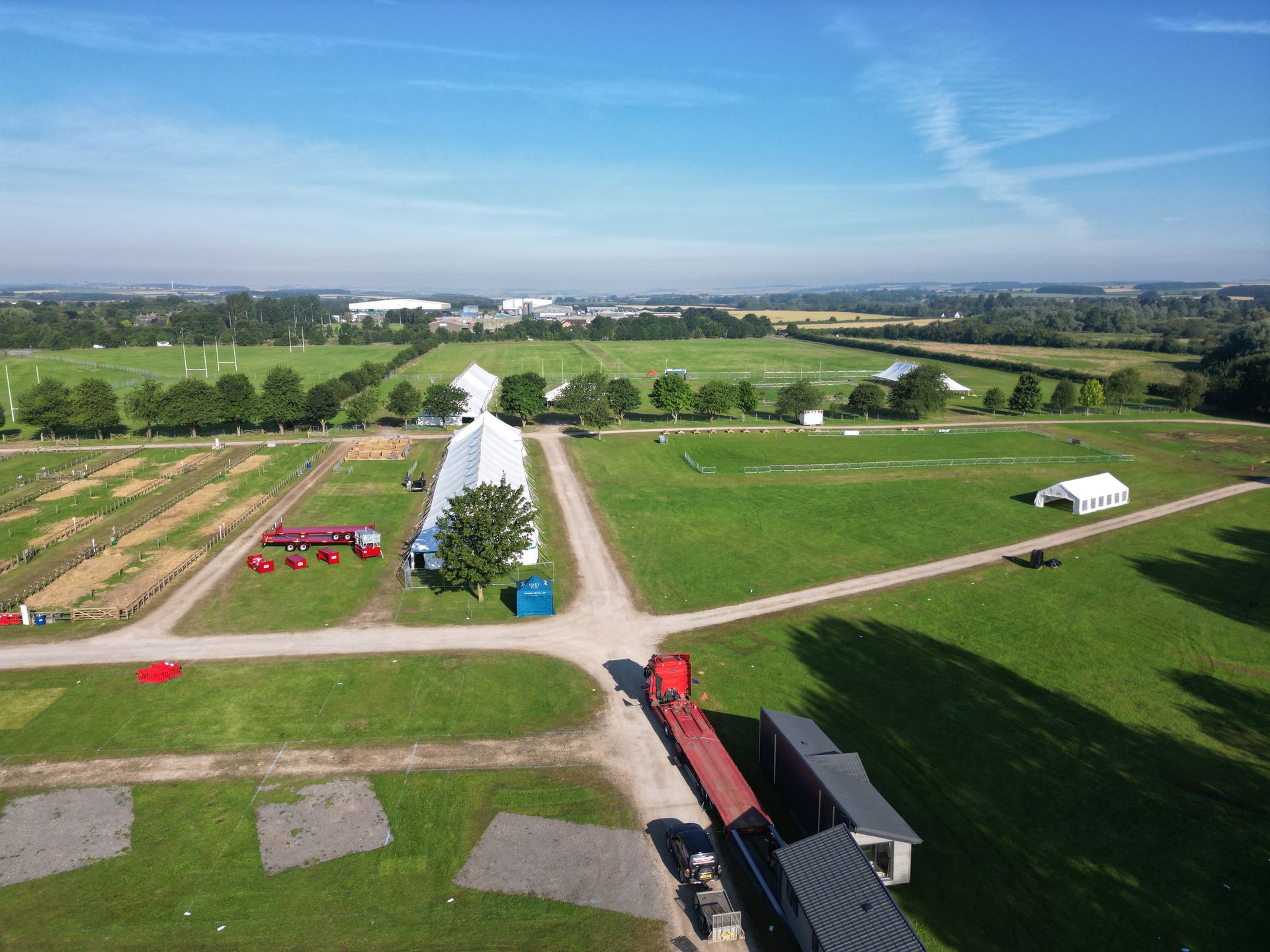
Aerial surveys using drones have revolutionised how businesses across Yorkshire collect data, monitor assets, and make decisions.
This comprehensive guide explores the process, applications, and benefits of drone surveys for various industries, helping you understand how this technology can address your specific business challenges.
Understanding Modern Aerial Surveys
Today's aerial surveys extend far beyond simple photography. Using sophisticated drone technology, these surveys collect precise data that can be analysed to provide actionable insights for businesses across multiple sectors.
Modern drone surveys typically deliver:
- High-resolution orthomosaic maps
- Detailed 3D models of terrain and structures
- Accurate measurements and calculations
- Thermal imaging for temperature analysis
- Multispectral data for vegetation assessment
- Time-series comparisons for change detection
This rich dataset provides Yorkshire businesses with comprehensive information for planning, monitoring, and decision-making without the limitations of traditional survey methods.
The Aerial Survey Process
Initial Consultation and Planning
Every effective drone survey begins with understanding your specific needs:
- Identifying the exact area requiring survey
- Determining the optimal data outputs for your objectives
- Establishing the required level of detail and accuracy
- Planning appropriate flight parameters
- Addressing any site-specific challenges or restrictions
This consultation ensures the survey delivers exactly what your business needs rather than generic imagery.
Pre-Flight Preparation
Before the drone takes flight, thorough preparation ensures safety and compliance:
- Conducting site risk assessments
- Securing necessary permissions and notifications
- Checking weather forecasts and conditions
- Establishing ground control points if required
- Briefing site personnel about the operation
Data Acquisition
During the survey flight:
- The drone follows a pre-programmed flight path for consistent coverage
- Multiple passes may be conducted at different heights for varied detail levels
- Automated systems ensure image overlap for accurate processing
- Specialised sensors capture the required data types
- Operators monitor the process to ensure quality and safety
A typical site survey might capture hundreds or even thousands of individual images that will later be processed into cohesive datasets.
Data Processing and Analysis
After the flight, sophisticated processing transforms raw data into valuable deliverables:
- Images are stitched together to create seamless orthomosaic maps
- Photogrammetry techniques generate accurate 3D models
- Algorithms calculate measurements and volumes
- Specialised software analyses thermal or multispectral data
- Comparison with previous surveys identifies changes
Deliverable Preparation and Presentation
The final stage involves preparing user-friendly outputs that address your specific needs:
- Formatted reports with key findings and recommendations
- Digital maps and models in appropriate file formats
- Measurement data and calculations
- Visual presentations for stakeholder communication
- Integration with existing systems where applicable
Key Applications for Yorkshire Businesses
Construction and Development
Construction professionals across Yorkshire use aerial surveys to:
- Document site conditions before work begins
- Track progress against schedules and plans
- Calculate earthwork volumes and material stockpiles
- Monitor safety compliance and site organisation
- Communicate progress to stakeholders and clients
These applications help keep projects on schedule and within budget while providing comprehensive documentation throughout the construction process.
Property Management and Marketing
For Yorkshire's property sector, aerial surveys deliver:
- Professional marketing imagery and videos
- Comprehensive property documentation
- Boundary and access route clarification
- Building condition assessments
- Development potential visualisation
When combined with Matterport 3D surveys, these aerial perspectives create complete property packages that accelerate sales and improve management decisions.
Land Management and Agriculture
Yorkshire's agricultural and land management sectors benefit from:
- Crop health assessment and yield prediction
- Drainage pattern identification
- Land use planning and optimisation
- Property boundary documentation
- Development potential assessment
These insights help maximise productivity while identifying opportunities for improvement or diversification.
Quarry and Mining Operations
For Yorkshire's extraction industries, drone surveys provide:
- Accurate stockpile volume measurements
- Extraction progress monitoring
- Site safety assessments
- Environmental compliance documentation
- Comprehensive site mapping
These applications help quarry managers make informed decisions while maintaining safety and compliance standards.
Infrastructure Inspection and Maintenance
Infrastructure managers use aerial surveys to:
- Inspect difficult-to-access structures
- Document asset conditions
- Identify maintenance requirements
- Plan repair operations
- Monitor work completion
This approach reduces inspection costs while improving safety and documentation quality.
Advantages Over Traditional Methods
Drone surveys offer several significant advantages compared to traditional survey techniques:
Efficiency and Speed What might take days or weeks with ground-based methods can often be completed in hours with drone technology, delivering results faster and with less disruption.
Comprehensive Coverage Drones capture every part of the survey area with consistent detail, eliminating the sampling approach often necessary with traditional methods.
Safety Improvements Personnel no longer need to access dangerous areas for inspection or measurement, significantly reducing safety risks.
Cost Effectiveness Despite their sophisticated technology, drone surveys typically cost less than traditional methods for equivalent coverage, particularly for larger or complex sites.
Non-Disruptive Operation Surveys can be conducted without interrupting site operations, allowing businesses to maintain productivity during data collection.
Choosing the Right Survey Provider
When selecting a drone survey provider in Yorkshire, consider these key factors:
- Regulatory Compliance Ensure the operator holds proper CAA permissions for commercial operations and appropriate insurance coverage.
- Technical Capabilities Verify that the provider has the specific equipment and expertise needed for your particular application, whether that's thermal imaging, precision measurement, or specialised analysis.
- Industry Experience Look for providers with experience in your specific sector who understand your unique challenges and requirements.
- Data Processing Capabilities Confirm that the provider can deliver processed results in formats compatible with your existing systems and workflows.
- Quality Assurance Processes Ask about quality control measures that ensure accurate, reliable results you can confidently use for decision-making.
Future Developments in Drone Surveying
The field of aerial surveying continues to evolve rapidly, with emerging capabilities including:
- AI-assisted feature detection and analysis
- Real-time data processing and delivery
- Integration with BIM (Building Information Modelling) systems
- Enhanced sensors for specialised applications
- Automated change detection and alerting
Yorkshire businesses that embrace these technologies gain competitive advantages through better information, faster decision-making, and improved operational efficiency.
Aerial surveys using drones represent a significant advancement in how Yorkshire businesses collect and utilise spatial data. By providing comprehensive, accurate information more quickly and cost-effectively than traditional methods, these surveys enable better decisions across multiple industries.
Whether you're managing construction projects, marketing properties, maintaining infrastructure, or overseeing land resources, drone survey technology offers practical solutions to everyday business challenges. With the right survey partner, Yorkshire businesses can transform complex drone technology into simple, actionable insights that drive real-world results.