How Drone Surveying Improves Accuracy Beyond Traditional Methods
For businesses across Yorkshire seeking reliable data for critical decisions, the question of accuracy is paramount.
Drone surveying has revolutionised how we collect spatial information, offering significant improvements over traditional surveying methods. This article explores how drone technology delivers enhanced precision while saving time and reducing costs.
The Limitations of Traditional Surveying
Traditional surveying techniques have served industries well for centuries, but they come with inherent challenges:
- Time-Intensive Data Collection Conventional surveys require surveyors to physically access and measure each point of interest. On large sites, this process can take days or even weeks, delaying project timelines and increasing labour costs.
- Limited Data Points Manual surveys typically collect hundreds or thousands of data points. While sufficient for basic needs, this limited dataset can miss important details or variations in terrain.
- Access Restrictions Difficult terrain, hazardous conditions, or physical obstacles often prevent surveyors from collecting comprehensive data in certain areas, leading to gaps in information or assumptions that may affect accuracy.
- Human Error Factors Despite rigorous training, traditional methods remain susceptible to human error in measurement, recording, or data transfer stages.
How Drone Surveying Improves Accuracy
Drone technology addresses these limitations through several key advantages:
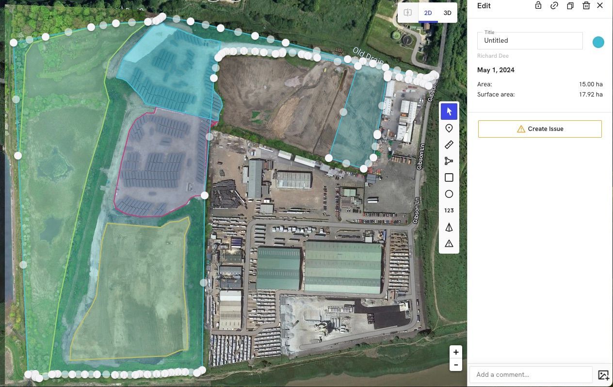
Millions of Data Points Rather than collecting discrete measurements, drone surveys capture millions of data points across the entire survey area. This comprehensive coverage creates highly detailed models that reveal subtle variations in terrain and structures.
A typical drone survey of a 10-acre site can collect over 20 million individual measurement points, compared to perhaps a few thousand with traditional methods.
Consistent Measurement Methodology Drone surveys use consistent, calibrated sensors and automated flight patterns to ensure uniform data collection across the entire site. This eliminates the variability that can occur when different surveyors measure different sections of a project.
Reduced Human Intervention By automating the data collection process, drone surveys minimise the potential for human error in the measurement phase. While expert interpretation remains essential, the raw data itself is collected with machine precision.
Complete Coverage Drones can easily access areas that would be difficult, dangerous, or impossible for ground-based surveyors to reach. This ensures comprehensive coverage without gaps or assumptions, particularly valuable for quarries, industrial sites, or complex structures.
Measurable Accuracy Improvements
The accuracy benefits of drone surveying are not merely theoretical - they translate to measurable improvements:
- Vertical Accuracy Modern drone surveys regularly achieve vertical accuracy of 2-3cm, comparable to traditional methods but with far greater coverage and detail.
- Horizontal Positioning With RTK (Real-Time Kinematic) or PPK (Post-Processed Kinematic) GPS technology, drone surveys can achieve horizontal positioning accuracy of 1-2cm across the entire survey area.
- Volume Calculations For stockpile measurements and earthworks calculations, drone surveys typically deliver volume accuracy within 1-2% of actual quantities - a significant improvement over traditional estimation methods.
Real-World Applications in Yorkshire
Yorkshire businesses across multiple sectors are benefiting from these accuracy improvements:
Construction Progress Monitoring Construction managers use sequential drone surveys to track progress with centimetre-level precision, allowing for early detection of deviations from plans before they become costly problems.
Quarry Volume Management Quarry operators rely on accurate volume calculations to manage extraction rates, verify customer deliveries, and maintain regulatory compliance - all areas where drone surveying excels.
Land Development Planning Property developers use highly accurate terrain models from drone surveys to optimise site layouts, plan drainage systems, and calculate earthworks volumes with confidence.
Complementary Approaches
Despite the advantages of drone technology, the most effective surveying strategies often combine multiple methods:
- Ground Control Points Using traditional surveying techniques to establish precise ground control points enhances the absolute accuracy of drone surveys, creating a perfect synergy between methods.
- Verification Measurements Selective ground-based measurements can verify drone data in critical areas, providing additional confidence in the results.
- Integrated Data Workflows Modern surveying often integrates aerial surveys using drones with traditional techniques, laser scanning, and other methods to create comprehensive datasets that leverage the strengths of each approach.
The Future of Surveying Accuracy
As drone technology continues to evolve, we can expect further improvements in accuracy through:
- Higher resolution sensors
- More sophisticated processing algorithms
- Improved GPS technologies
- Integration with other data sources
- AI-assisted feature detection and analysis
For Yorkshire businesses requiring precise spatial data, drone surveying offers a compelling combination of accuracy, efficiency, and comprehensive coverage that traditional methods alone cannot match.
By embracing these technological advances while maintaining rigorous professional standards, Dee4Drones delivers survey results that businesses can confidently use for their most critical decisions.