What Is an Aerial Survey Used For? Key Business Applications in Yorkshire
Aerial surveys have transformed how businesses collect data, monitor assets, and make decisions.
For Yorkshire businesses wondering "what is an aerial survey used for?", the applications extend far beyond simple photography, offering practical solutions to everyday business challenges.
Essential Business Applications of Aerial Surveys
Construction and Development
Construction managers across Yorkshire are increasingly turning to aerial surveys to monitor progress, identify issues, and communicate with stakeholders. These surveys provide comprehensive site documentation that helps keep projects on schedule and within budget.
A typical construction aerial survey delivers:
- Accurate site measurements and topographical data
- Progress documentation at regular intervals
- Volume calculations for earthworks and materials
- Change detection between survey dates
- Compliance verification for planning requirements
For Yorkshire developers, this means fewer site visits, better documentation, and improved decision-making capabilities without disrupting ongoing work.
Quarry and Mining Operations
Quarry operators face unique challenges in monitoring extraction volumes, ensuring safety, and maintaining compliance. Aerial surveys eliminate the need for personnel to access potentially dangerous areas while providing more accurate data.
Key benefits include:
- Precise stockpile volume measurements
- Comprehensive site mapping
- Extraction progress monitoring
- Safety assessment of high-risk areas
- Environmental compliance documentation
These applications help quarry managers make informed decisions about resource allocation and operational planning while maintaining the highest safety standards.
Agricultural Land Management
Yorkshire farmers and landowners use aerial surveys to gain valuable insights into their property without time-consuming ground inspections. The bird's-eye perspective reveals patterns and issues not visible from ground level.
Common agricultural applications include:
- Crop health assessment and yield prediction
- Drainage pattern identification
- Land use planning and optimisation
- Property boundary documentation
- Development potential assessment
This information helps agricultural businesses maximise productivity while identifying opportunities for diversification or improvement.
Property Marketing and Management
Estate agents and property managers throughout Yorkshire have discovered that aerial surveys provide compelling marketing materials while also serving practical management purposes.
Effective applications include:
- Professional marketing imagery and videos
- Property boundary verification
- Building condition assessment
- Development potential visualisation
- Access and rights of way documentation
When combined with Matterport 3D surveys, aerial data creates a comprehensive property package that accelerates sales and improves management decisions.
Beyond Basic Imagery
Modern aerial surveys deliver far more than simple photographs. Using specialised equipment and processing techniques, these surveys can provide:
- Accurate measurements and calculations
- 3D models of terrain and structures
- Thermal imaging for energy assessment
- Multispectral data for vegetation analysis
- Time-series comparisons for change detection
For Yorkshire businesses, this means access to professional-grade data collection without the expense of traditional survey methods or the safety risks of manual inspections.
Getting Started with Aerial Surveys
If you're considering how aerial surveys might benefit your Yorkshire business, start by identifying specific challenges that could be addressed with better visual data or remote monitoring.
Whether you need one-time documentation or regular progress tracking, drone survey services can be tailored to your specific requirements.
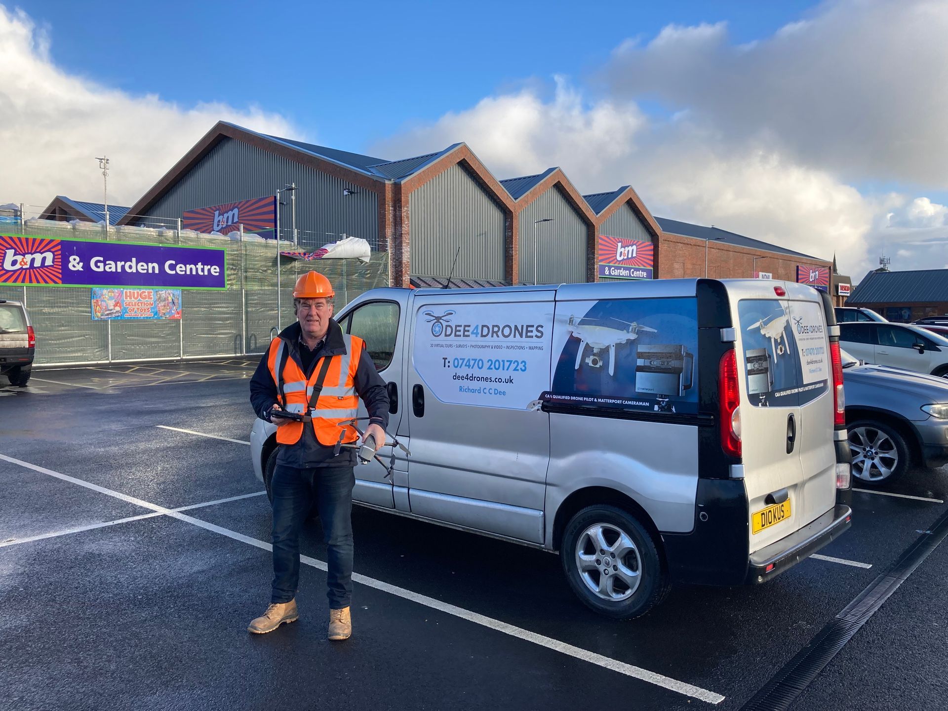
With over a decade of experience providing aerial surveys across Yorkshire, Dee4Drones specialises in turning complex drone technology into practical business solutions that save time, reduce costs, and improve decision-making.