Aerial Surveys: A Comprehensive Guide

Aerial Surveys: A Comprehensive Guide
Introduction
Aerial surveys are transforming how businesses gather information. By using drones, you can capture detailed images and data from above, offering a clear view of large areas. This guide explores the benefits of aerial surveys, the technology involved, and the importance of working with qualified professionals.
What Are Aerial Surveys?
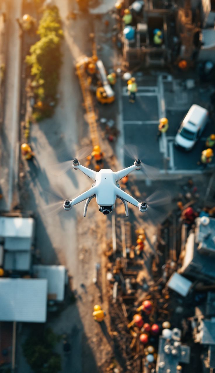
Aerial surveys use drones to capture images and data from above. They are used in various fields, such as construction, agriculture, and mining. Drones provide a bird's-eye view, making it easier to track progress, measure land, and spot problems early.
Thermography is a special type of aerial survey that uses thermal cameras to detect heat variations. It's useful for roof surveys, identifying heat loss, and finding faults in machinery.
Aerial surveys are particularly beneficial in highly populated and high-risk areas, like near railway lines and airports. Drones can safely gather data without disrupting these environments.
Key Technical Aspects of Aerial Surveys
- Equipment Used: Aerial surveys rely on drones equipped with specialised cameras. These drones are designed to capture high-quality images and videos from above, providing a detailed view of the area. Many drones are fitted with thermal cameras for detecting heat variations. This is particularly useful for identifying heat loss in roofs and assessing property infrastructure. By spotting these issues early, businesses can address them before they become costly problems. The choice of drone and camera depends on the specific needs of the survey, ensuring the best results for each project.
- Data Collection: Drones fly over the area, collecting images and videos that show the site's current state. This data helps in tracking progress and identifying issues.
- Data Processing: Special software processes the collected data into useful information, such as 3D maps and thermal images. This helps businesses make informed decisions.
Importance of Engaging Qualified Drone Pilots
Qualified drone pilots have the skills and certifications needed for safe and effective operations. They ensure compliance with regulatory requirements and health and safety standards, especially in high-risk areas. Being fully insured, they provide peace of mind, knowing that any unforeseen incidents are covered.
Pitfalls of Using Unqualified Suppliers
Using unqualified suppliers can lead to inaccurate data, legal issues, and unexpected costs. They may not follow safety standards or have the necessary insurance, leading to potential financial burdens. Inexperience can also affect the quality of the survey, resulting in poor decision-making.
Conclusion
Aerial surveys offer a powerful way to gather detailed information for various projects. By understanding the technology and choosing qualified professionals, you can ensure accurate and reliable results.
This guide aims to provide you with the knowledge needed to make informed decisions about using aerial surveys in your business.

